Home | Where is Cub Hill? | Research Projects | Land Use Change | Resident Information | Summer of 2002 | Views From the Tower | Contact Information | Links
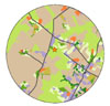
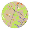
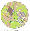
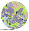
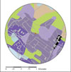
There is no aerial photo, 2010 is the proposed land use made by Baltimore County, using the 1996 aerial photo and planning information.